 |
||||||||||||||||||
|
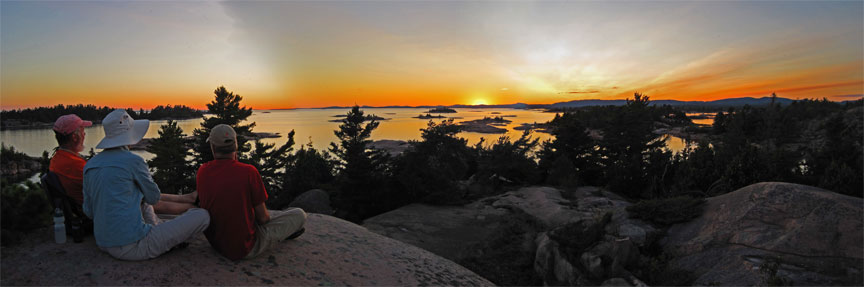
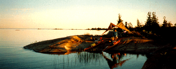
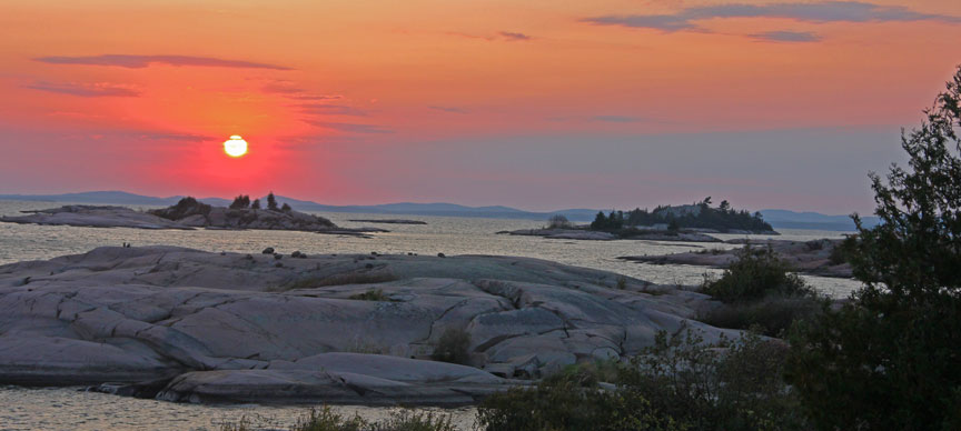
East Fox Island sunset over Killareny. Paste these coordinates into Google Earth to find East Fox Island: 81 20' 40" W, 45 57' 30" N
|
||||||||||||||||||
Georgian Bay my favorite place to paddle!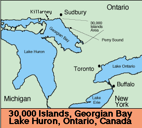
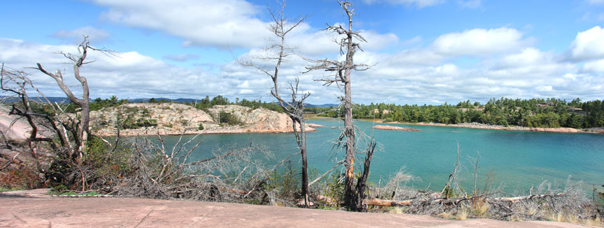
Killarney section of Georgian Bay's 30,000 Islands
I always go back to the beautiful 30,000 Island region of Georgian Bay of Lake Huron. We put in at the western end of Killarney Provincial Park near the town of Killarney. |
||||||||||||||||||
| Here's a GB trip from about 1994.
This is our gang for a on Georgian Bay.We launched from the west end of Killarney Provincial Park on July 20 th and returned on July 27 th. From left to right are Shin-Li, Ron, Joe, Sandy and Rob. |
||||||||||||||||||
 |
||||||||||||||||||
| We had great August weather and paddled and camped anywhere we wished on all the public "Crown Land" | ||||||||||||||||||
 |
||||||||||||||||||
| We paddled out a couple miles to this intriguing island called "Hawk" island on our maps. | ||||||||||||||||||
 |
||||||||||||||||||
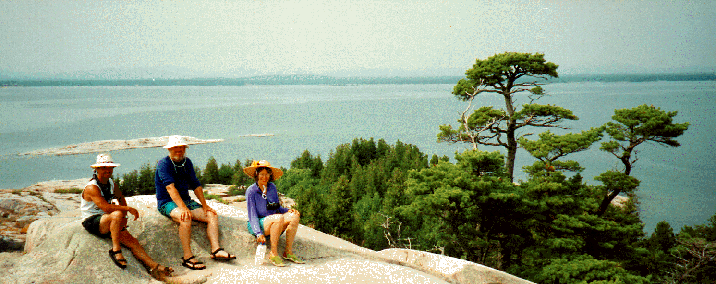
| The veiw on top of Hawk Island was grand!
Put these coordinates into Google Earth to find Hawk Island. 45 56' 22.56" N |
||||||||||||||||||
 |
||||||||||||||||||
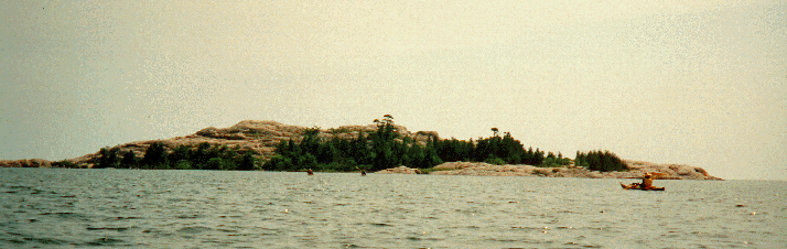
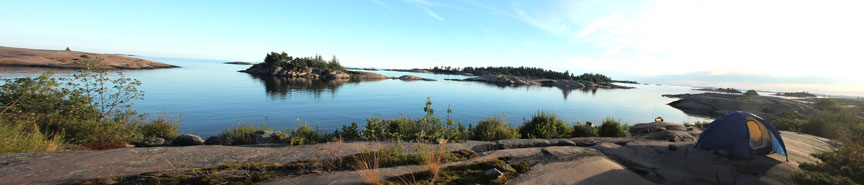
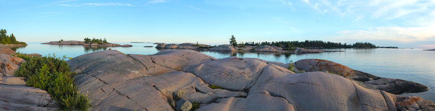
| This is Champlain Island far to the east.
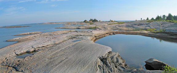
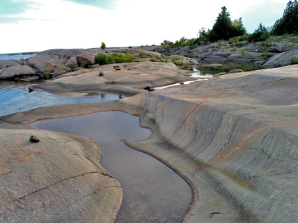
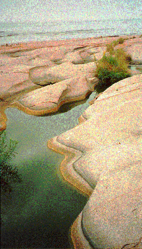
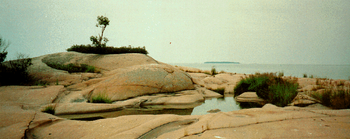
The rock shapes were sculpted by the last ice age and the range of colors and variety of types of rock are staggering. The rest of these photos are from trips up to the present day. |
||||||||||||||||||
 |
 |
|||||||||||||||||
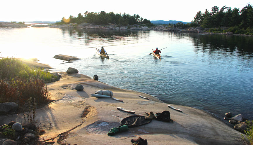
| Rocks and colors change from mile to mile. | ||||||||||||||||||
 |
||||||||||||||||||
 |
||||||||||||||||||
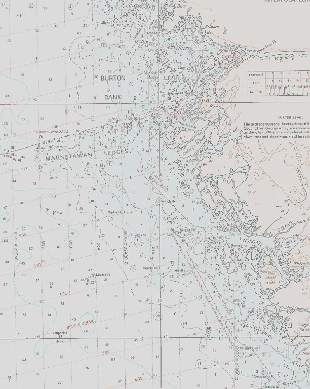
| This is truly a kayaker's paradise. So many islands so little time.
If you think you can navigate you'll find out for sure here or be lost! This map represents just one small section of the 30,000 Islands! Labarinths of passages galore Any wonder I've paddled here for more than 25 years! |
||||||||||||||||||
 |
||||||||||||||||||
 |
||||||||||||||||||
 |
||||||||||||||||||
 |
||||||||||||||||||
 |
||||||||||||||||||
 |
||||||||||||||||||
|
||||||||||||||||||